Tools Used
- ArcPro
Purpose
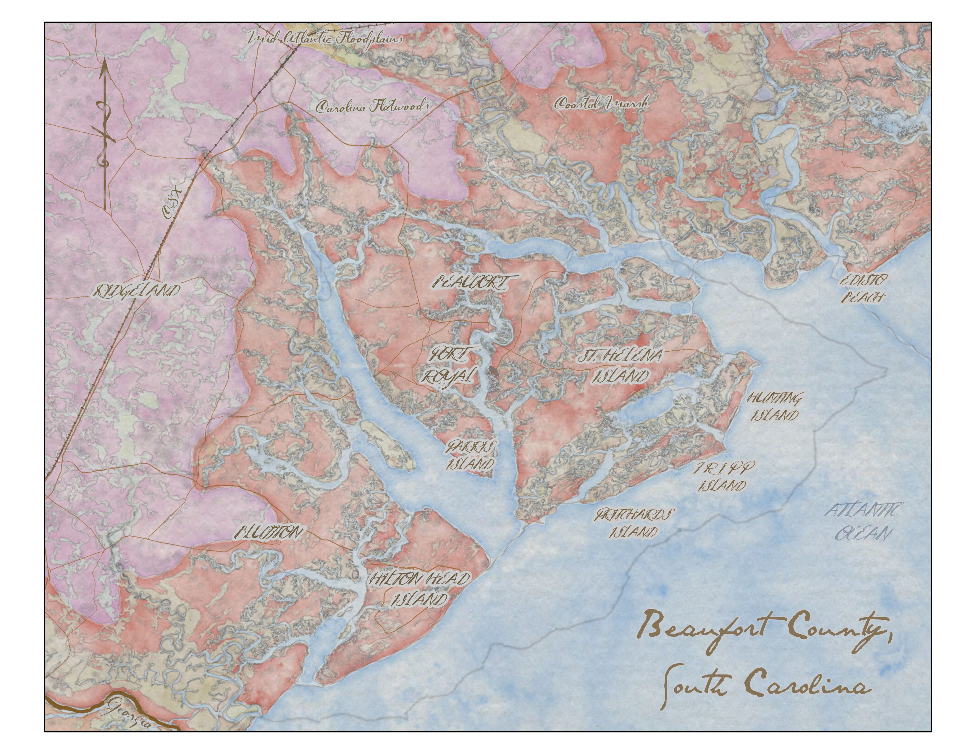
I created this map as a personal project while still working through the GIS certificate at Portland Community College.
Final Thoughts
I was very new to GIS and was exploring the design aspect of cartography by experimenting with different colors, textures, and fonts. Deciding which data types should be included, and which were too much. I was not personally familiar with this area, so it was interesting trying to pick out the important parts of an area that make it recognizable to those familiar with it without that knowledge myself.
If I were to make this map now, I would do it differently. There is not really a cohesive theme that ties everything together. The colors are the ecological zones, which don’t really make sense when included with the human oriented information such as the railroad, county boundary in the ocean, and names of towns.
I was proud when I made this map, as it is one of the first ones I made on my own outside of an assignment. I am glad I have it to look back at as a starting place.